Tag: Transit

  • Sound Move: My Thoughts on the Enterprise Initiative

    This is Post 2 of my Seattle Transit Series: Sound Move

    Sound Move is produced in collaboration with CreativeSystems of America. An independently-owned and operated collective, CreativeSystems of America aims to amplify voices of the American people.

    If you’ve been keeping up with the latest in Seattle transit news, you’ll know about Sound Transit’s record-breaking $34 billion shortfall. A shortfall of this size will be devastating to Sound Transit, undermining their potential capability to complete voter-approved Sound Transit 3 projects. Sound Transit is currently reviewing the Enterprise Initiative, a cost-cutting plan to re-work Sound Transit’s finances.

    In this initiative, there are a bunch of projects that Sound Transit is planning on deferring or reducing the scope of. This post is a reaction of sorts – answering the question of “Is this worth the deferral?”

    Link Light Rail to Tacoma Dome

    Although I understand why this project needs to get built, I can also see why this project could be deferred for a future phase. Tacoma to SeaTac trips are the main reason why this line should exist. In my mind, upgrades and improvements to Sounder S Line would be a much better investment, as the line links Tacoma to Seattle that makes much more sense. Link Light Rail would take much longer to get to Seattle, and I don’t know if it’s worth that investment. This section would also see very little ridership.

    In a political sense, this project is highly unlikely to be deferred. Pierce County subarea voters have received very little improvements outside of the T Line extension, so this project will “recoup” Tacoma’s investment into regional transit.

    Link Light Rail to Everett

    This project, despite the abysmal rider projections is sorely needed for regional connectivity. The existing options, including Sound Transit Express lines and the Sounder N Line are relatively insufficient to support future rider growth. Snohomish County got its first light rail line back in 2024, and a connection to Everett would be a great investment to maintain regional connectivity. No complaints here, other than the line’s strange routing.

    Link Light Rail to Issaquah and SOuth Kirkland

    This line would be an easy offshoot from the 2 Line as long as they follow the freeway routing. Although the line would be a lot more valuable if Kirkland wanted the line, it’s decently needed for more interconnectivity in East King Subregion. I doubt that it would be as impactful as Stride BRT, but as it stands I’m happy with the delay.

    Link Light Rail to West Seattle

    This branch would bring pretty decent ridership for Link despite being so short, but I think Avalon should be put back onto the map to provide better connections to Burien or White Center. Alaska Junction is already served by the RapidRide C Line and the Link conection would be beneficial for the area.

    Link Light Rail to Ballard

    This is a pretty big mistake. Ballard Link, including the Second Downtown Tunnel is a valuable opportunity to provide better connections in a transit-dependent area. Building the full link out to Ballard would provide way better regional opportunities for riders outside of the North King Subarea, as they can use Link as a part of a true transit corridor in Seattle. Although the costs are high, this one project will boost regional opportunities much further than a light rail line to Issaquah.

    So far, the subarea structure of Sound Transit essentially means that this project is very unlikely to be fully funded by ST3, despite the fact that it is guaranteed to provide the best value for money. I understand that the political will to build this project is very much alive, but Seattle’s interests remain eaten up by the rest of the board that must advocate for their areas.

    In the meantime, the proposal to build to Seattle Center would still benefit South Lake Union, so I’m happy that at least a stub line is being built. My fear is that the stub will exist in a Wilshire/Western-esque limbo of existence. My hope is that they’re able to prioritize the full buildout to Ballard before the political motivation to build it disappears.

    Graham Street Station (Infill)

    Not a fan of this deferral. Subjectively, South Seattle has been f*cked over by the Link system because of this at-grade section. Despite that, it has still managed to prosper and maintain a lot of its character. Graham Street has been requested for years by the community, and would fill a particularly important gap along MLK Jr. Way. It’s a pretty “cheap” station (estimated at US$214M) that would greatly benefit the community. Seattle continues to alienate some of the city’s most marginalized neighborhoods, and the deferral of this station is a reminder of that fact. A proposal by Seattle Mayor Katie Wilson has proposed a “last-in” funding mechanism that would restore funding for this station, and I really hope it passes.

    Boeing Access Road Station (Infill)

    If I’m honest, I’d rather see this station cancelled outright. For the estimated cost of US$425-475M, this station would serve basically nothing and has very little development potential. This is already an incredible waste of money, and it should be removed from the schedule altogether.

    Sounder Improvements

    A whole list of Sounder improvements, including capacity improvements for Sounder South, and an extension to DuPont are all proposed to be deferred. While it would be nice, the extension to DuPont is less of a priority than the Sounder South capacity improvements. Hourly frequencies between Tacoma and Seattle would be a dream, but I doubt BNSF would be co-operative for that amount of traffic.

    Link Light Rail to Tacoma Community College

    I don’t know much about the T Line unfortunately, but the T Line’s Hilltop Extension has proven to be of great value to the City of Tacoma. Since the main priority for this line is economic development, keeping it on the table but extending the debt priority is probably the best outcome for this project.

    What’s Next?

    As of the date of publication, the Sound Transit Board is voting to approve or amend the Enterprise Initiative today (Thursday, 28 May). My hope is that we can find ways to lower soft costs and keep the transit momentum going in the Puget Sound. Seattle is on a great run with building and developing transit, and this momentum needs to be harvested for the next generation of projects.

    Further rEading

    Substitute Resolution No. R2026-11

    Graham Street Station and the Failure of the Enterprise Initiative

    How to Finish ST3 Sooner (Without Raising Taxes)

  • A Gray Tale: Metrolinx’s allergy to good design

    My main gripe with Metrolinx is the fact that they choose to use white OR gray tile in every piece of infrastructure that they build. My main issue with this is the fact that it makes each station extremely boring.

    Building an identity

    What color does to a station cannot be understated in our communities. The use of color has always carried cultural connotations, from the colors of flags, to emotions and other uses (color analysis). I’ve grown up riding the Hong Kong MTR, a system that heavily relies of color theming to build identity to make it easier for people to identify individual stations. Causeway Bay will always be lilac, and Sheung Shui will always be a light blue in my mind.

    Connecting our communities with color would have gone a long way in establishing transit in the roots of our placemaking efforts. The original Yonge subway tiles, first installed when the subway began operations back in 1954, stayed true to this theming – utilitarian designs, but with each station having a different color trim and tile, it helped establish a sense of identity to each station. TMU (formerly Dundas)’s iconic highlighter yellow tiles is another good (albeit ugly) example of how color shapes places in our mind.

    Meanwhile…

    Riding the new TTC Line 6 Finch West, it was pretty clear how much value-engineering took place on the line. Disregarding the main issues of the line, the issue I take with the design of the line is the fact that each station has no character. The surface stops are modern, simple, and clean, with black shelters made with metal and glass.

    My main issue is that they could have very easily made small, unique changes to each station by changing the colors of some glass panels to add character to each station. St. Clair’s rebuild included artwork at the top of each shelter panel to represent the neighborhoods that the streetcar line runs through, which added character to an otherwise monotonous piece of infrastructure. Big infrastructure projects shouldn’t just be reliable, but also work as placemakers for the communities it serves.

    What can Metrolinx do?

    Honestly, I don’t mind the vinyls that Sound Transit (temporarily) applied to their stations during openings. The vinyls act as a cheap way to add character and color to each station. I would love it if Metrolinx / Mosaic Transit Partners could work in similar vinyls for each station stop. It doesn’t even need to be anything special – just a different color for each stop.

    If Metrolinx wants to claim that they can design high-quality rapid transit, what’s the point of half-assing it? Why build stations that are as drab and utilitarian as the road itself? We had a once-in-a-Canadian-lifetime opportunity to build a rapid transit line Northwest Etobicoke could be proud of, and like most things, we’ve failed to take pride in our work and do it correctly.

  • Sound Move: Initial Thoughts on the Crosslake Connection

    This is Post 1 of my Seattle Transit Series: Sound Move.

    Sound Move is produced in collaboration with CreativeSystems of America. Providing voices to American communities and peoples.

    On March 28th, 2026, Seattle welcomed a long-awaited and overdue rail connection – the Crosslake Connection. The 7 mile, 2 station extension connects a fragmented Link Light Rail system – giving Redmond and Bellevue a one-seat ride into Downtown Seattle, and onto Lynnwood, SeaTac / Airport, and Federal Way.

    Coincidentally (and not planned at all!), I was also in Seattle on March 28th, 2026! Waking up at 6am, I decided to show up for the opening events to celebrate such a monstrous development in the Puget Sound.

    Opening Events

    The opening events were held across from the new Judkins Park station at Sam Smith Park. Living in Toronto, I’ve never really experienced a transit opening, but Seattle really did it up! The whole park was set up with community tents, vendors, and even transit advocate groups! The Cascade Cycling Club even set up a bike valet.

    Thankfully, Seattle not only wants to throw a party, but people will show up in droves for it. It was already packed at 8 AM which is when the actual event starts. What did I expect in a city where the main activity is hiking and running?

    Alas, there was no running or hiking this day, unless you wanted to trample a bunch of people. The main event was a bunch of speeches from important people. I can now tell people I saw the Governor of Washington, the Mayors of Seattle, Bellevue, Redmond, Mercer Island, and a United States Senator talk less than 50 feet away from me.

    The other events included a stamp competition – get a commemorative stamp at four stations (Chinatown–International District, Judkins Park, Mercer Island, South Bellevue) and get a bucket hat. Fortunately (or unfortunately), there were literal quarter-mile lines to get on the train, so it was not possible for me.

    Fortunately for me, this event was SWAG central. I love free swag, even though it’s actually so useless. I mainly got a bunch of stickers, but also the limited edition, corporate sponsored (thanks Microsoft!) Orca Card. Transit Cards are great souvenirs to collect because they’re 1. Useful and 2. A very small souvenir from the city. I will cherish this card forever.

    After the speeches and the community tents (where I talked to so many great people), I headed over to Exit A of the station where the ribbon cutting would occur. After a mile-long parade of delegates, the line was finally open!

    The Ride

    For me, my ride started at Bellevue Downtown station. After the opening events, I had other plans in the ID to attend to, so after lunch I boarded a bus (King County Metro 271) to ride the actual train. I took a detour to Downtown Redmond (new mileage I haven’t riden yet), and headed back down to South Bellevue to ride the new segment.

    Honestly, there was very little to say about the actual ride. It went as smooth as you’d hope. The train got up to max speed (55mph) as it crossed over I-5 and onto a viaduct to Mercer Island. The train then crossed the Homer M. Hadley Memorial Bridge at 55 mph, making it the first permanent light rail line on a floating bridge. It was actually pretty cool engineering too. The views were sick but honestly exactly the same as the views I got walking across the bridge.

    The best part however, is the fact that it takes 10 minutes from South Bellevue to C-ID. It’s a life changer getting between the Eastside and Seattle. The bus I took to Bellevue took me around 40 minutes. I cannot say enough words how great this line will be for Seattleites.

    Overall Thoughts

    With the Crosslake Connection finally open, and high-quality rapid transit finally spanning the Puget Sound, the Crosslake Connection is the root turning Seattle into a true, transit-friendly city.

    I’m not here to talk about Sound Transit 3 and why it’s become a fiscal disaster, but I can already see how people are taking this new line and turning their attention towards building more high-quality transit in the Puget Sound. While I was there, I was invited to many open consultations and events to save light rail in West Seattle, Ballard, and even Issaquah of all places. I’ve never seen a city change so quickly and embrace transit. Build it and they will come!

  • series: MBTA – My experience on Commuter Rail

    This is Part 2 of series: MBTA, a collection of ideas on the Massachusetts Bay Transportation Authority.

    When I visit new cities, I typically make it a point to visit a bunch of different transportation modes. Luckily for me, Boston is home to a plethora of transportation modes – from the famous T, there’s also buses, ferries, and the elusive Commuter Rail.

    For most tourists, there’s very little reason to ride Commuter Rail, especially since it’s evidently catered towards commuters, and not tourists. Nonetheless, I had the opportunity to ride Commuter Rail during my trip, as Apple Maps told me it would be slightly faster than taking the Red Line into Boston.

    My Experience

    Station

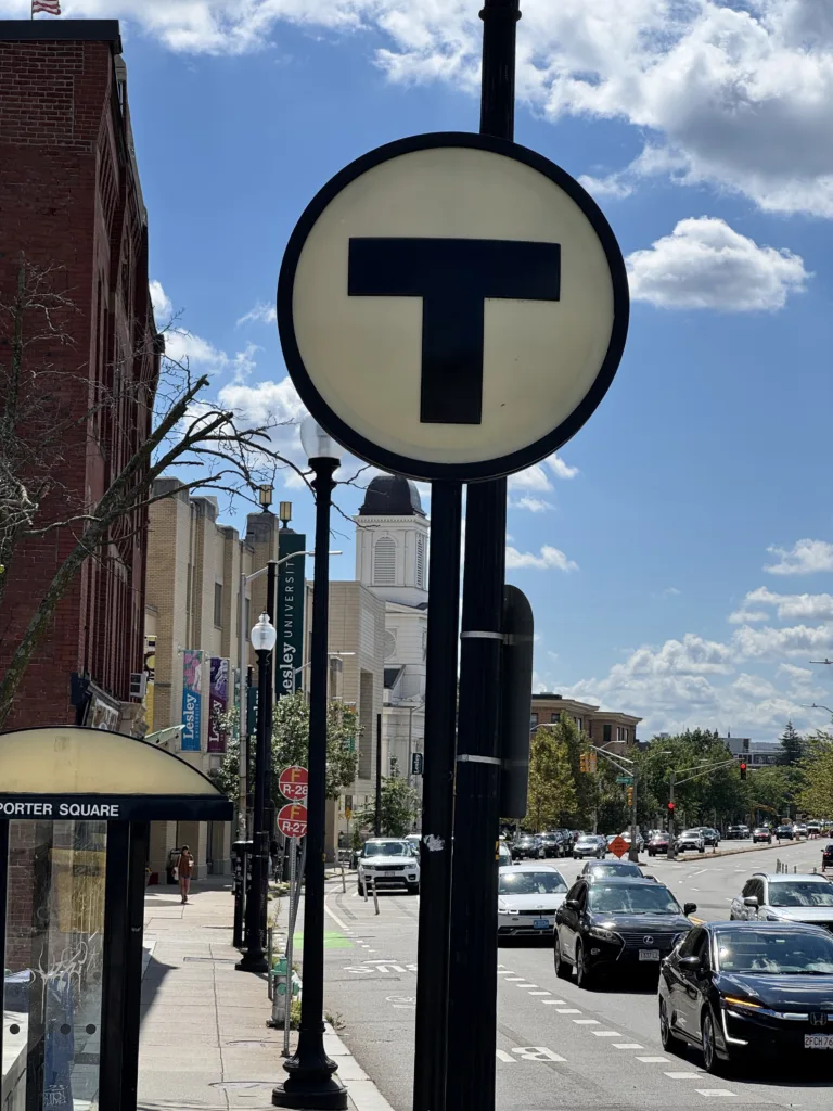
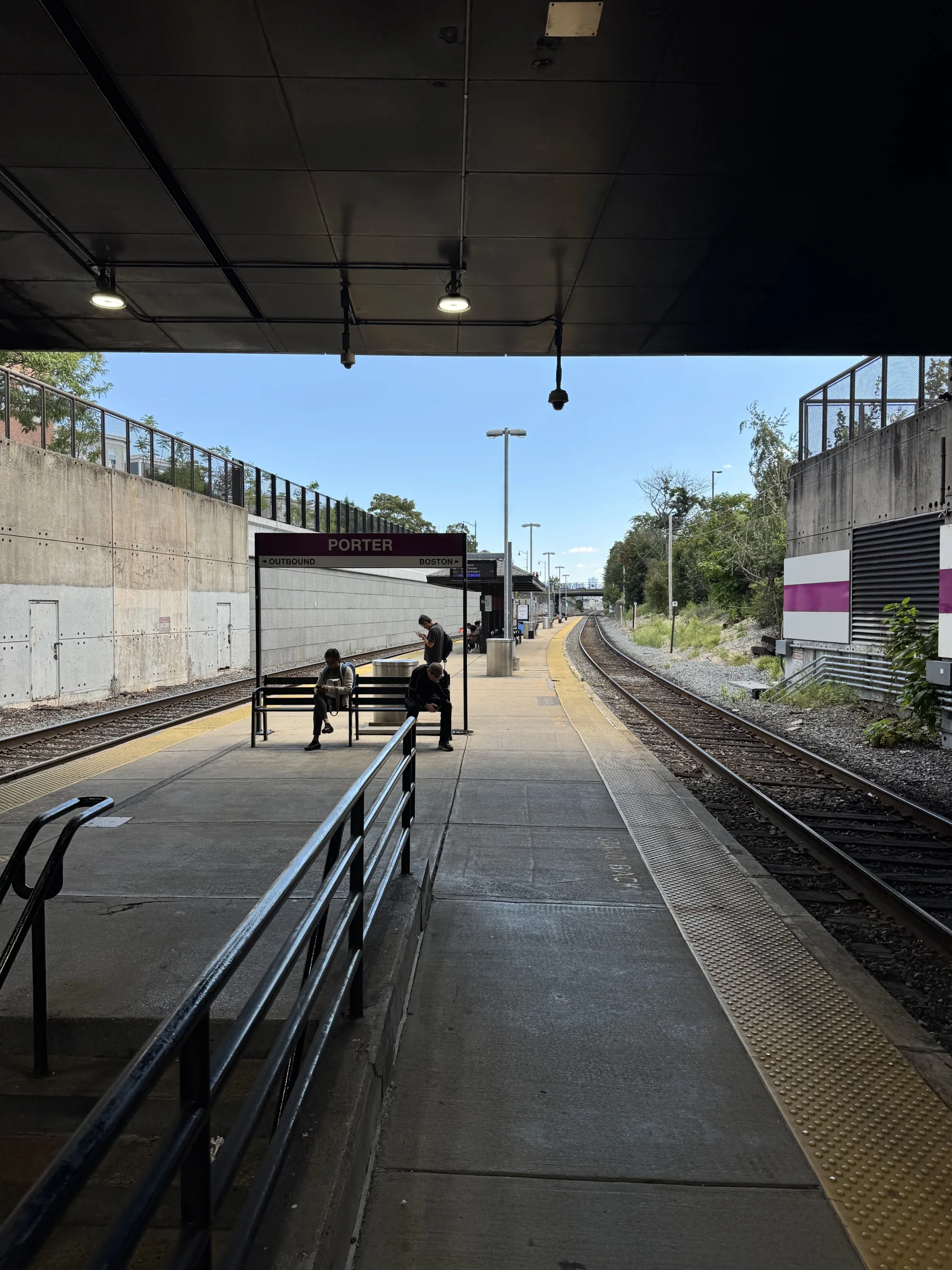
    Porter Station is a busy train hub for Porter Square residents, with local shopping and Lesley University nearby. It’s also home to the longest set of escalators on the T, which takes a solid two minutes to ride up to surface level. Although the Red Line station is grandiose in a brutalist-80’s type of way, the commuter rail station is a sad shack in comparison. Located below Massachusetts Avenue, the platform is your typical American commuter rail station, consisting of a couple of benches and a small shelter on the platform. The accessibility area was located right at the station entrance, which I really did like. There was also a direct connection to the Red Line station, which is great for transfers.

    Train Ride

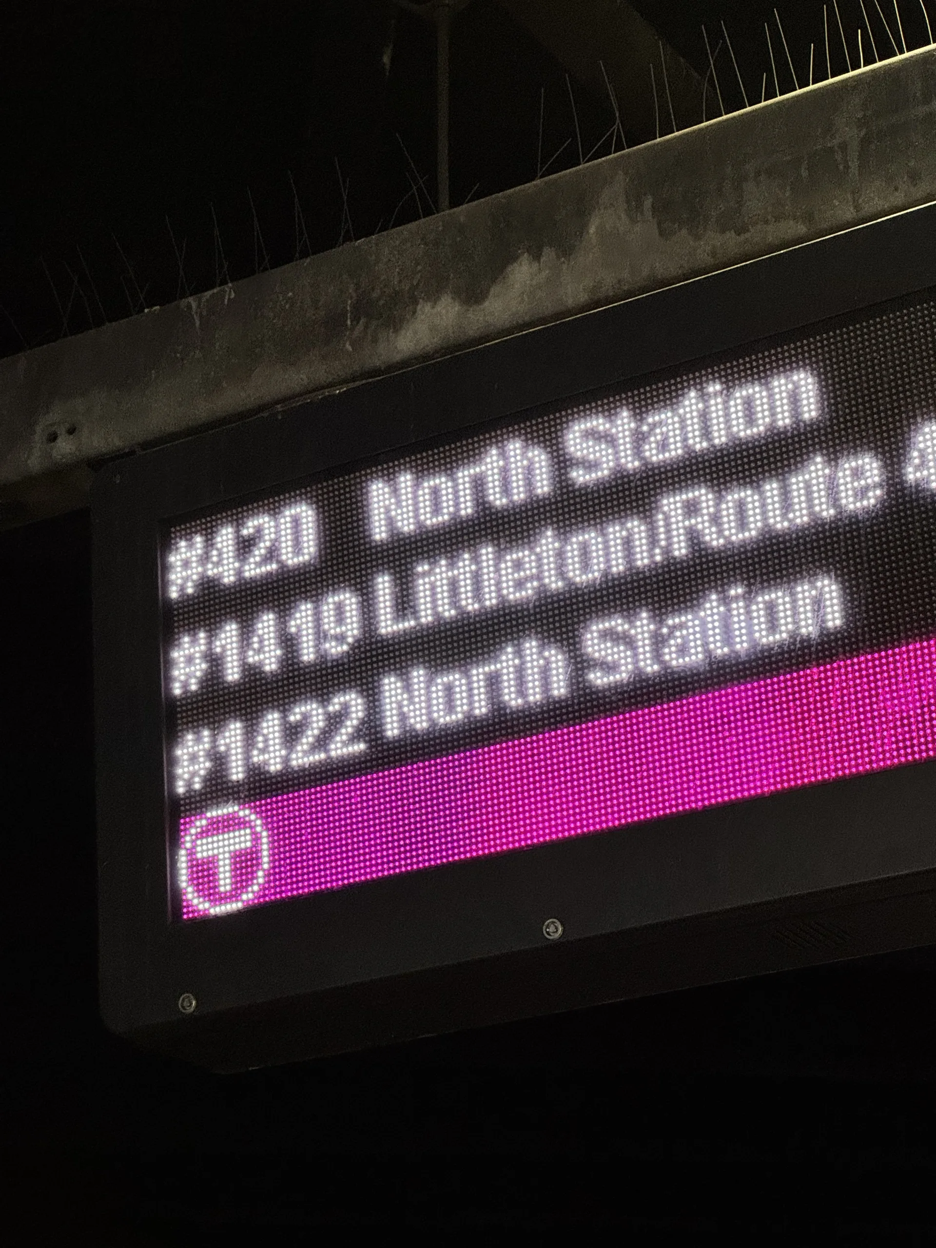
    I took the Fitchburg Line, train #421 from Porter to North Station (1 stop). Mid-day, the train runs hourly from some Boston suburb to North Station, although I’d have to assume frequencies improve during rush hour. The train is scheduled to take 14 minutes to North Station, which is faster than the 30 minutes it would have taken to take the T.

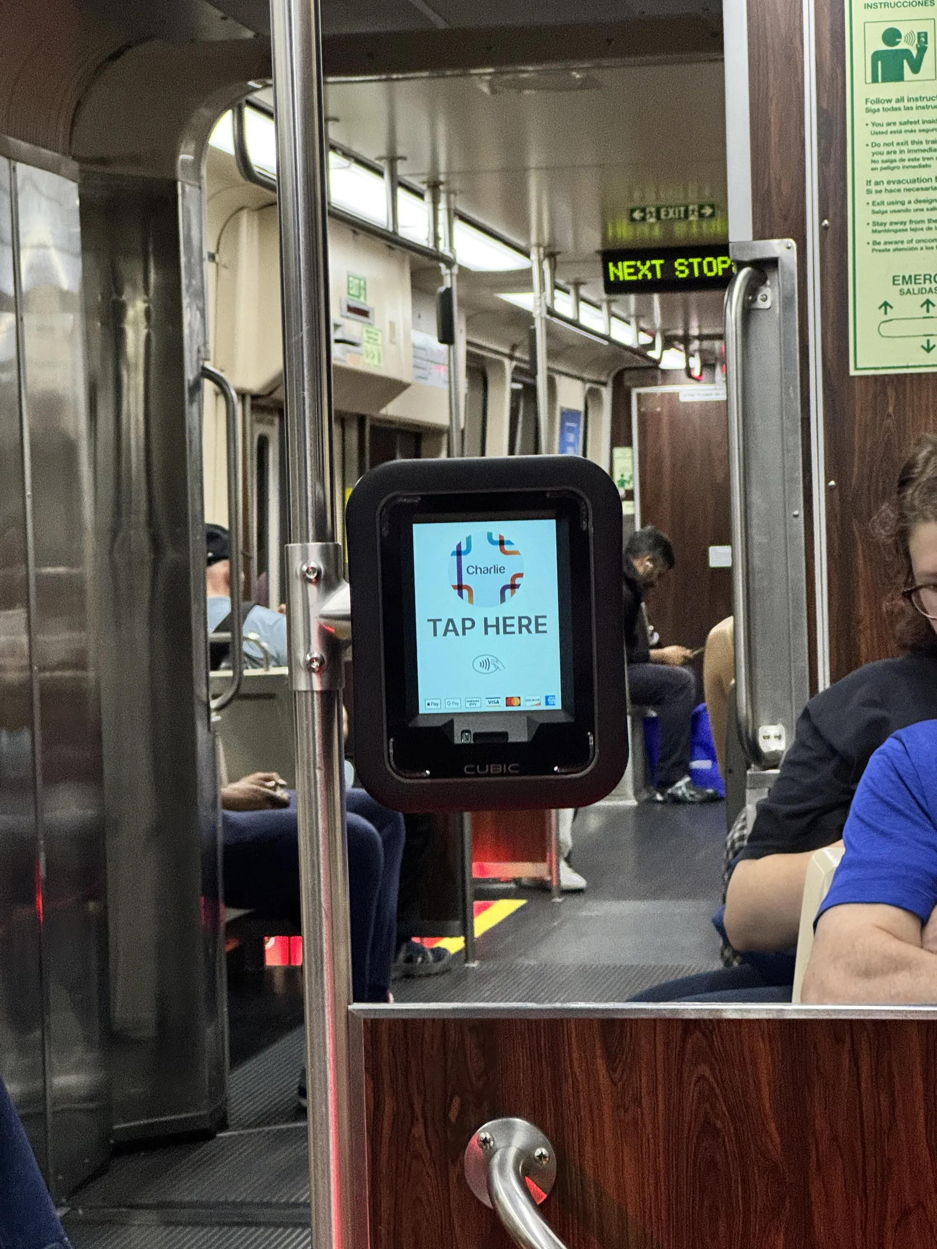
    The fare system in Boston is wack, but in this case, my seven day pass covered the trip. Did you know that you can’t use CharlieCards (the Boston version of OMNY) on commuter rail? Once Charlie (the second-generation system) rolls out this should be possible, but it’s also the year 2025, and you could take regional trains using similar transit cards for the past 30 years now. You can validate your ticket using a CharlieTicket (a paper version of a CharlieCard that somehow has more capabilities despite being disposable) or mTicket.

    The train ride was pretty monotonous, but when the train pulled up, only the accessible door at the front opened for passengers? It was kinda strange since the trainset was five coaches long, but not a big deal. The northbound train came five minutes earlier, and all the passengers scattered around the platform had to run to the accessibility coach to get on board. I noticed that the doors were a manual set, very strange in 2025, but not unheard of (see Paris Metro).

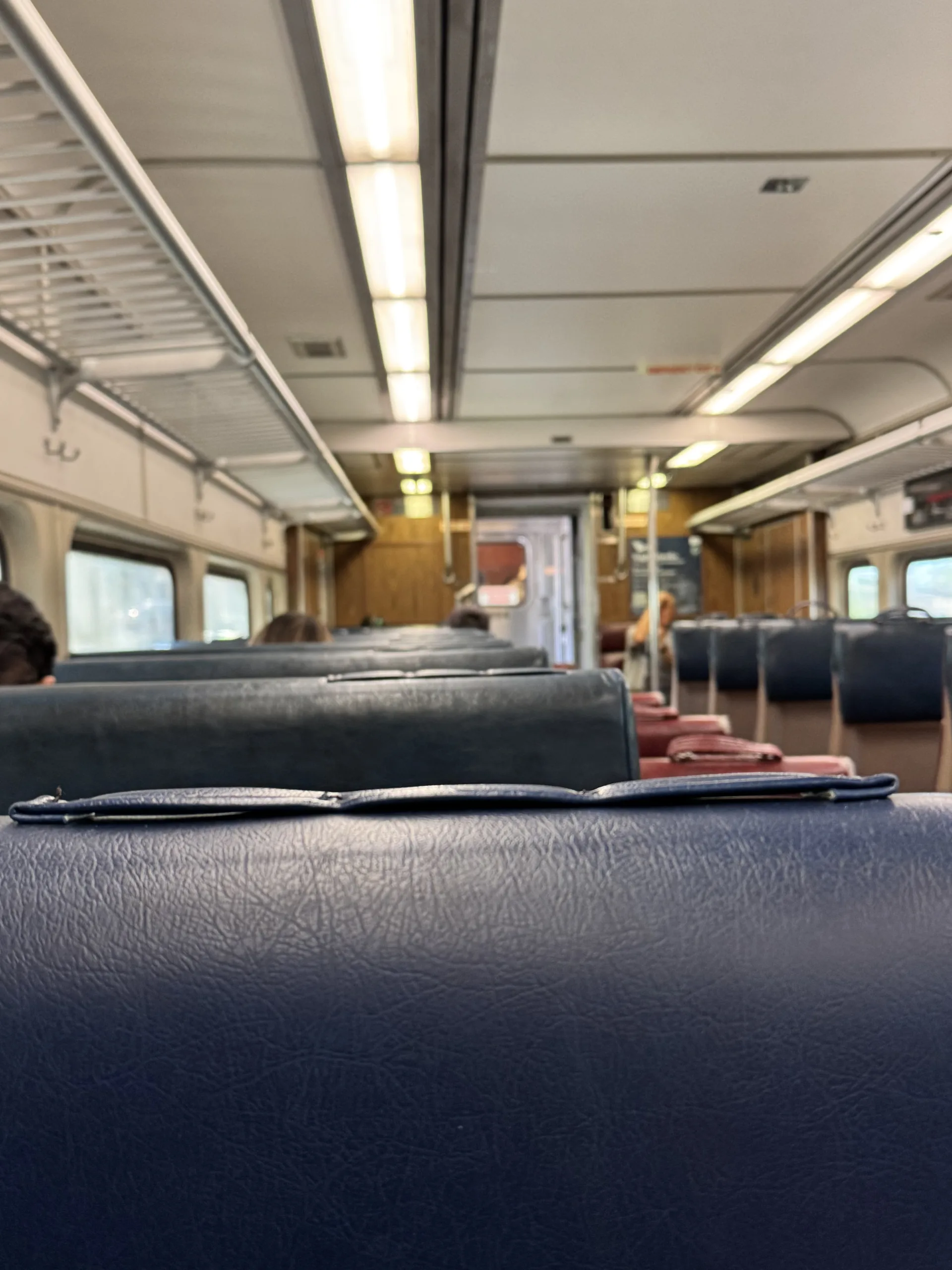
    I’m not a train foamer, but the coach set used was a super old car, with a 3/2 seating configuration. The third seat looked like it was tacked on. I’m not going to lie, it was a bit strange, but the coach was pretty clean overall, albeit extremely dated. No bugs though, so what can you do. The train took the scheduled amount of time and was pretty monotonous.

    North Station

    When we got to North Station, we had to wait for the conductor to manually open the doors (still very strange to me). North Station is your standard terminal, with long platforms to the large waiting hall indoors. I like North Station because it’s connected to the Green and Orange lines, as well as TD Garden (I don’t care too much about hockey), but it’s great for concertgoers. The MBTA has also installed fare gates at North Station, which means commuters need to tag off at the gate. I like this a lot, because it increases fare compliance without the need to install gates at all of the stations.

    Final Thoughts

    Overall, I enjoyed my time on MBTA Commuter Rail, although the rolling stock is pretty bad. I would say it has really good bones, but I’m concerned if the MBTA could ever transition into a true regional-style rail system like the Paris RER. Commuter Rail ridership had the strongest recovery out of all the MBTA modes, so there’s plenty of potential for Greater Boston to rebuild its historic transit network.

    It does have one major problem I hate, which is the fare ticketing system. The Commuter Rail does not support CharlieCard, and will also not support the next generation of fare payment, Charlie+. It baffles me that the networks are not integrated – seems like such a large oversight that doesn’t seem to have any particular reasoning. I understand it was originally supposed to support Charlie+, so I’m hoping that later rollouts will support Charlie+.

    Please watch out for Part 3 of series: MBTA, a collection of ideas on the Massachusetts Bay Transportation Authority.

  • series: MBTA – Struggles of the Silver Line

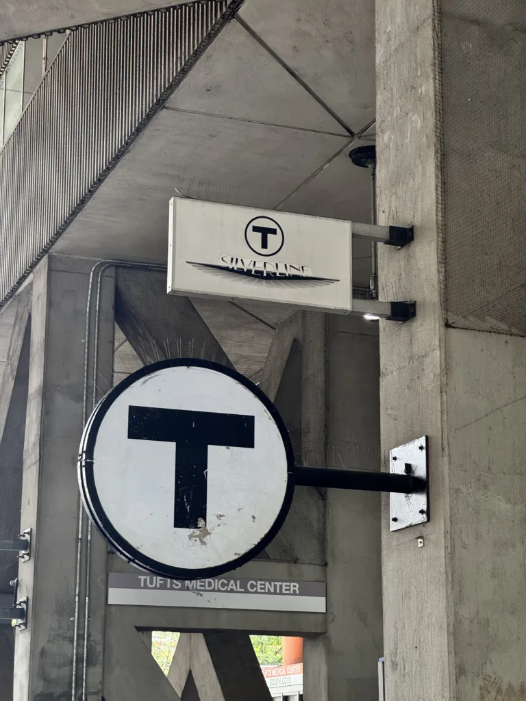
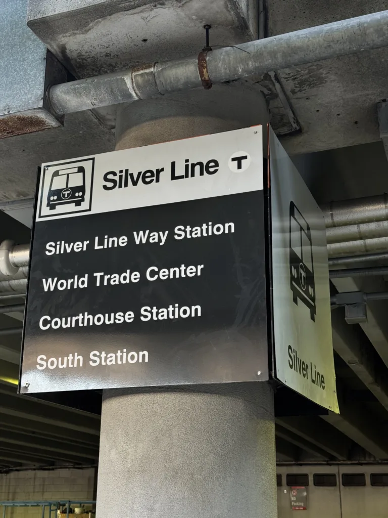
    As a transit aficionado, my Roman Empire is the MBTA Silver Line. The Silver Line is a BRT (Bus Rapid Transit) that the MBTA (Massachusetts Bay Transportation Authority) tries to parade as a rapid transit line, despite the fact that it has five separate routes and runs almost half of it’s routing in mixed traffic. It even has dedicated space on the Subway map, and prominently features in signage at South Station, the MBTA’s busiest transit hub.

    Last week, I got the chance to finally fly into Boston’s Logan Airport, which meant I got the pleasure of taking the Silver Line into the city. The SL1 connects the airport to South Station for free, which was great for someone like me who forgot to bring their old CharlieCard from 2022.

    My Experience

    SL1 services all airport terminals, so it was easy to exit the baggage hall and straight to the Silver Line stop. Loved that! The Silver Line is supposed to come every 10 minutes at the time I wanted to take it, and although tracking said a bus would be coming in around 3 minutes it did end up taking 10. The boarding experience was smooth, all door boarding (because you don’t need to pay), and a lot of seating was taken out for luggage racks. Ridership was also pretty decent, the bus filled up by the time we got to the last terminal station.

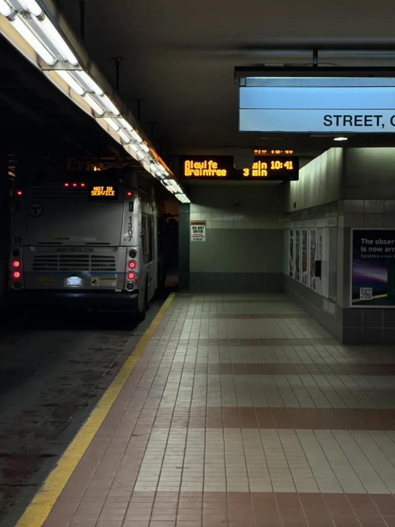
    The bus then drives out of the airport and through the Ted Williams Tunnel, linking East Boston to the main city. The strangest part of the trip begins here: the bus takes the exit to Seaport District, Boston’s super strange gentrified yuppie neighborhood (please watch out for my note on whatever Seaport is), and proceeds to stop outside the World Trade Center Station. Pretty normal as of now, but it continues to drive a couple blocks eastward until it reaches a tunnel portal.

    Past the tunnel portal, the bus dips down into traffic at a speed I can only describe as treacherous. Despite having a completely enclosed pathway, the bus runs at what seems like a snail’s pace. Also, the bus stops AGAIN at World Trade Center, but this time underground? The bus then continues crawling through the Seaport District, making another brief stop at Courthouse before ending it’s trip at South Station. Overall, the trip took around 40 minutes, which was around 10 minutes longer than I was expecting. The connection with the Red Line was great though – just a set of stairs downwards to the subway.

    What I liked

    The Silver Line is ultimately still public transit infrastructure, and although it may be the world’s slowest underground busway, plenty of people still use it. Three lines run along this underground portion, and with pretty decent frequencies, you can expect a bus to show up every two minutes. The permeance of the infrastructure means that development in the area has sprung around the stops, although as of now it’s mostly just shops you’d find in any major luxury mall and offices.

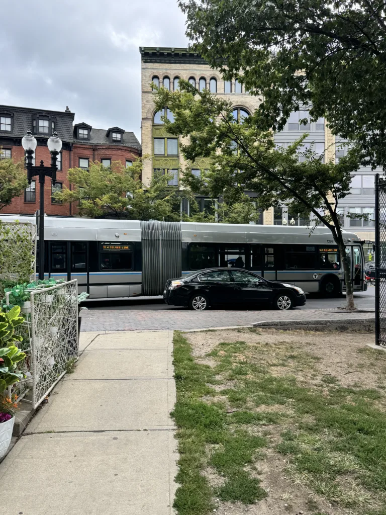
    I also got to ride the Silver Line down to East Berkeley Street, which was just a regular bus, but it was a decently frequent bus! The Silver Line does have good frequencies on paper, which does make it a decently reliable link for riders. The fact that it’s just a bus also gives it more flexibility on future expansions, which are desperately needed in a city like Boston, where the population has grown by hundreds and thousands since the Silver Line opened with very few infrastructure projects to show for it.

    What i Disliked

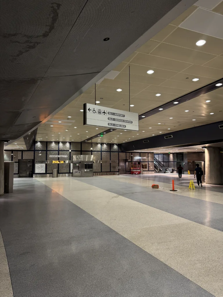
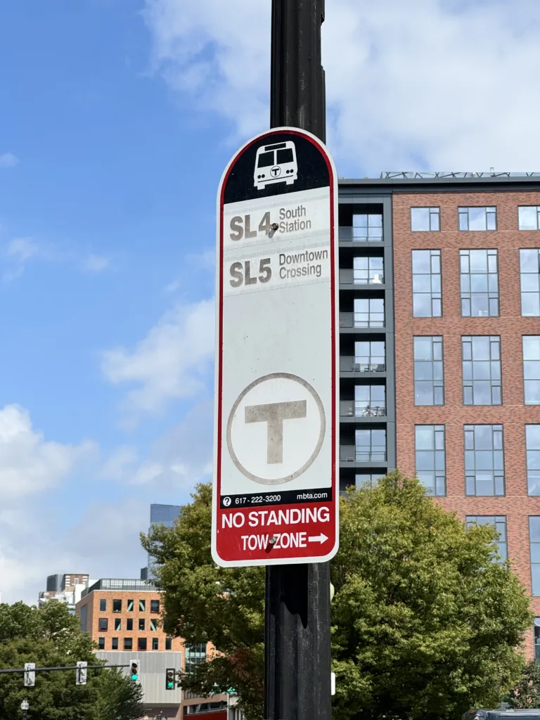
    The Silver Line is a weird branding exercise for two completely separate bus line GROUPS: The Waterfront Lines (SL1 to 3) serve South Station to the Airport, Design Center, and Chelsea, while the Washington Street Lines (SL 4 and 5) were built to replace an old interurban railway line from Downtown to Nubian. The strangest part is that the two line groupings don’t really connect. They were supposed to connect as an extension of the transit tunnel from South Station down to South End, but with that project cancelled, the bus line exists in limbo. It makes no real sense to group all of these lines as “Silver Line” when they don’t even really operate as a proper line.

    Other than the existing criticisms of the line (it’s not really BRT!), the Silver Line seems to face a lot of surprising infrastructure creep: stations in the Seaport are built as colossal palaces of transit with very little ridership to show for it. The stations are much larger than pretty much every single MBTA subway station, despite there being very little need for a bus station designed for 100,000+ people. No real idea why they decided to build palaces instead of spending that money on building that downtown connection that is desperately needed for the Silver Line to be a proper bus service.

    On my way back to Logan Airport, I decided to take the Blue Line to the Airport instead, which somehow proved to be a much faster journey despite requiring a bus transfer. The Silver Line is not competitive coming from Downtown Boston since it still requires a fare, but it’s slower and requires a transfer for most users.

    What to do?

    Overall, the Silver Line is a great start to BRT, but it’s an inadequate service for the residents and visitors of Boston alike. Twenty plus years later, I’m not sure if it’s been able to keep up with the region’s growth. Despite it’s subway-like branding, it fails to meet up to the standards of rapid transit, and needs to be upgraded to better serve the marginalized and gentrified communities along it’s corridor.

    Learn more about the Silver Line at mbta.com.